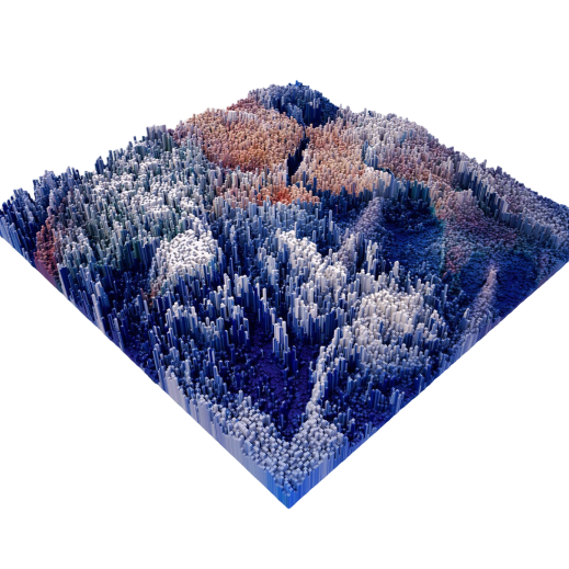
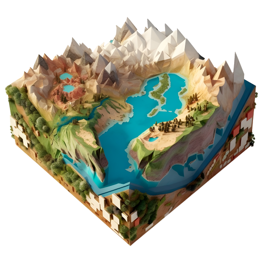
GeoSense Products
Smart Innovation

In this era of rapid change, GeoSense combines technology and the field of geographic information, with products including image recognition, WebGIS map, APP/PWA, construction supervision, etc. Our solutions are widely applied to various fields, providing the most appropriate solutions through the introduction of smart management technology.

product-photo
product-photo

Web GIS Map

WebGIS platform developed with international mainstream open-source architecture, supporting 2D/3D formats, creating customized geographic information management to meet needs.

  • Open Source Map Architecture
  • Spatial Standardized API Services
  • Multiple Layer Management
  • Complete Format Support - 2D/3D
  • Cross-Platform Framework

APP/PWA

Combining GIS and IoT cross-platform applications, leveraging the advantages of mobile devices to create a management model that is not limited by space and time.

  • Native Development Language
  • Sensor IoT Applications
  • Multiple Data Structures
  • Decision Information Dashboard
  • Cross-Platform Applications

Construction Supervision and Management / Construction-site Safety

Following the "Three-Level Quality Control" system promulgated by the Public Construction Commission of the Executive Yuan, comprehensive control is implemented for the construction and supervision of various projects, facilitating project supervision and inspection operations. Through the introduction of intelligent construction site management, it fully grasps and improves engineering quality by preventing safety accidents and conducting construction site safety patrols.

  • Open Source Map Framework
  • Construction Photo Management
  • Construction and Supervision Logs
  • Engineering Inspection Data Production
  • Construction Site Positioning/Physiological Monitoring
  • Equipment Positioning/Warning

Property and Asset Management

Meeting the needs of asset inventory and equipment management, providing comprehensive information management services through multi-platform integration of social housing applications, qualification lotteries, equipment rental, and property finance.

  • Social Housing Application and Management
  • Property Management Digitization
  • Asset Inventory and Audit
  • Facility Inspection and IoT Integration

Parliamentary
and Public opinion

Collecting news and public opinion through automated technology, managing important decisions and issues, and providing policy decision recommendations that meet the needs.

  • News and Public Opinion Collection
  • Policy and Construction Performance
  • Decision and Policy Management
  • Important Issue Simulation
  • Mobile Version Query

AI Models

Development and model building of 3D digital twins and AI image recognition technology, which can recognize species, volume, defects, and CCTV events for different usage scenarios, providing intelligent assistance and efficiency improvement.

  • Large Language Model Building
  • Species Recognition
  • Volume Calculation
  • Engineering Defect Marking and Analysis
  • CCTV Event Analysis

Agency Products
Rasdaman

Grid spatial data management, adopting OGC specifications, supporting international standard services. Allows multi-dimensional array image integration, creating spatial data application value.

  • Supports OGC geographic standards
  • Massive data warehouse space
  • Multi-dimensional array management functions
TOP